This was my first "thru-hike." It's admittedly short for a long distance trail but it distills a lot of the experience of a longer trail into 70 miles. Like the AT there are shelters, "trail towns" and classic Appalachian scenery. I went with a four night itinerary recommended to me over Instagram by Megan Drew, whose HikePennsylvania instagram is an excellent source of inspiration as well as an interesting look at PA's trails. I hiked sobo and stayed at the following shelter areas: RT 271, Turnpike, Grindle Ridge and Ohiopyle.
 |
The trail is marked by mileposts that count down to Ohiopyle for those heading South  Johnstown from Laurel Hill at the head of Conemaugh Gap |
 |
| Bridge over Blue Hole Creek |


|
| Sunset View from Maple Summit at MP 7.5. That's Sugarloaf Knob across the valley and Chestnut Ridge is the mountain in the distance. |
 |
| This is the view from the higher set of rocks on Maple Summit NW of MP 8.5 |

The southernmost section of trail from Milepost 24 at the Middle Fork Overlook to the southern terminus in Ohiopyle is the most awe-inspiring span on the LHHT. From the top of Sugarloaf down to the Youghiogheny River there is a vertical drop of 1,800 feet which makes the descent from Maple Summit to the river feel western in scope. There are so many wonderful overlooks in this section. Unfortunately, my iPhone died the morning of the fourth day so the Maple Summit/Ohiopyle pictures are from other trips I made this summer. I plan on going back this winter and searching for the abandoned logging camp in the "flats" of the Yough Gorge. It was called Victoria.
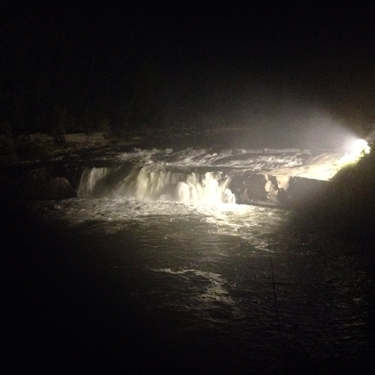 |
| Ohiopyle Falls at the end of the trail |
 |
| Ohiopyle House Café |
No comments:
Post a Comment