Our Campsite in Lefthand Canyon outside Boulder, Colorado
Driving from Lefthand Canyon to Wild Basin Trailhead in RMNP
View of Long's Peak from the road
Nic in Wild Basin, a remote valley in the southeast corner of the park
The trail follows a branch of St. Vrain Creek up to several chains of lakes
Patrol Cabin at Thunder Lake
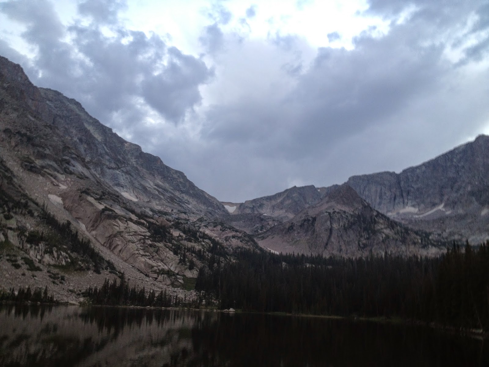
The lake and campground are approximately 10,000 feet high
Edited and unedited because they're both interesting
The trail to Boulder Grand Pass goes left of the huge granite dome and just right of the snowfield at the top. It's just over 12,000 feet in elevation at the top of the pass. That's the continental divide up there.
Bambi making sure that we're not "the man"
Wild Basin
Climbing Boulder Grand Pass, Thunder Lake is the farther one
Lake of Many Winds is right below
the pass
Pilot Mountain
Ptarmigan (doesn't fly very far)
Looking back up at the pass
Heading back down to Thunder Lake, the informal route up to the pass climbs up in four large steps, one marsh and two lakes sit on the "steps" leading to the top


No comments:
Post a Comment